
Description
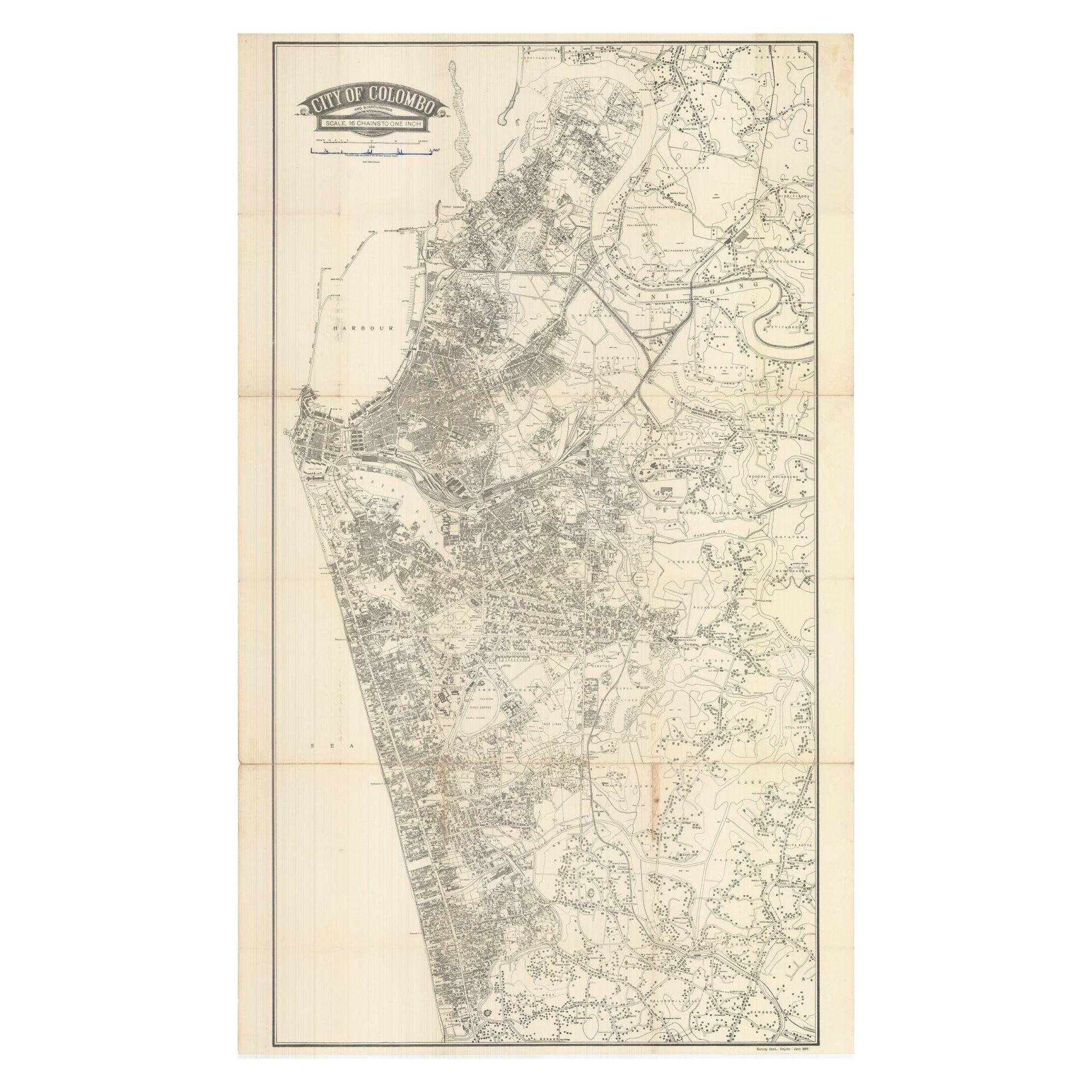
This large format, separately issued map of Colombo depicts the Ceylonese capital in 1956, eight years after the island became an independent dominion within the British Commonwealth (before becoming the Republic of Sri Lanka in 1972).
Colombo, which then had a population of around 450,000, is show to an ample scale of
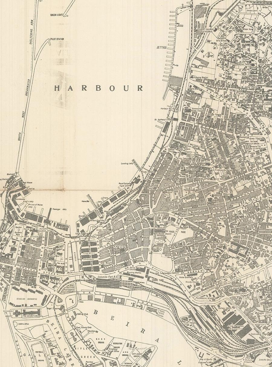
1:12,672. As such, every major building is outlined and labelled, while all streets are delineated. The old city, with its military configuration, is shown to hug the southern part of the harbour, while to the south, beyond the railway lands, are the newer neighbourhoods with broad streets and larger blocks, interspersed with parks and recreational areas, with the great national institutions, being the domains of the elite classes. To the north and south of the city are the working-class quarters with their dense concentrations of narrow lanes and smaller buildings. Taken in sum, the map is a valuable snapshot of Asian urbanism at a key historical juncture and a vital resource for researching modern Colombo history in particular.
The Survey of Ceylon first issued the City of Colombo and Surroundings / Scale, 16 Chains to One Inch in 1951, publishing regularly updated issues in the same format until 1969; the issues from the 1950s tend to be quite scarce today.
References: OCLC: 55728094.


Reviews
There are no reviews yet.